|
DIMENSIONS: STUDY TEAM |
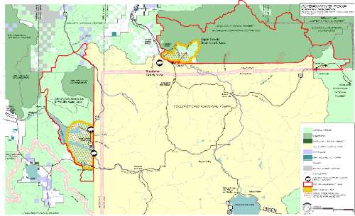
Map ExplanationThis is a map of land ownership and land use in the Greater Yellowstone Ecosystem. Each of these borders involves people who have a different way of dealing with the bison brucellosis problem. The bison do not recognize these boarders and seasonally migrate across some of them. In some areas it is viewed as a deadly threat to the local economy, in others, a scenic postcard. The management of bison and their associated illness varies, depending on which place on the map we are talking about. The main area of controversy involved with brucellosis has been the northwest entrance to the park. This entrance is located in Gardiner, Montana, an area where many cattle ranchers reside. Already an easy spot for bison to exit, the growing amount of snowmobiles in Yellowstone has created an increasing number of exit paths for bison to follow out of the park. Once the bison leave the park, they are in danger of being tested and slaughtered by the Montana Department of Livestock. Therefore, the city and surrounding region of Gardiner, MT has become a hotspot for bison and brucellosis. Not only has there been much bison testing and slaughtering in this area, but “hazers” have strategically placed themselves around Gardiner. “Hazers” are environmentalists who wave signs and yell in order to try and scare the bison back into the safety of YNP. The heavy bison exiting in this region has made the “hazers” focus a great deal of attention on NW Yellowstone and the surrounding area.
|